Mexans - Geographic Information Systems
Defence scientist Colin Harling began research into the software tool Maritime Exercise Analysis System (MEXANS)in 1994.
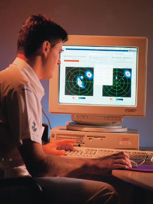
MEXANS is a sophisticated piece of computer software to which data is input and processed. Maritime scenarios are then replayed and analysed, permitting users to see exactly what happened as opposed to a perception of what happened.
MEXANS’ replay facility makes use of a Global Geographical Information System, which superimposes the positions of ships, aircraft and submarines on a high-resolution world map that allows the user to zoom in and out as appropriate. In-built analysis features include real-time graphing of speeds and altitudes and standard military statistical functions such as range analysis and detection probability.
The Australian Defence Force (ADF) uses MEXANS to analyse exercises quickly — a task that once took many months.
The Canadian Navy has purchased a three-year, research and development licence for MEXANS and its experience will further assist DST to develop the software. MEXANS has also attracted interest from the Royal Netherlands Navy, US Navy, North Atlantic Treaty Organisation (NATO) and industry.
